
About the project:
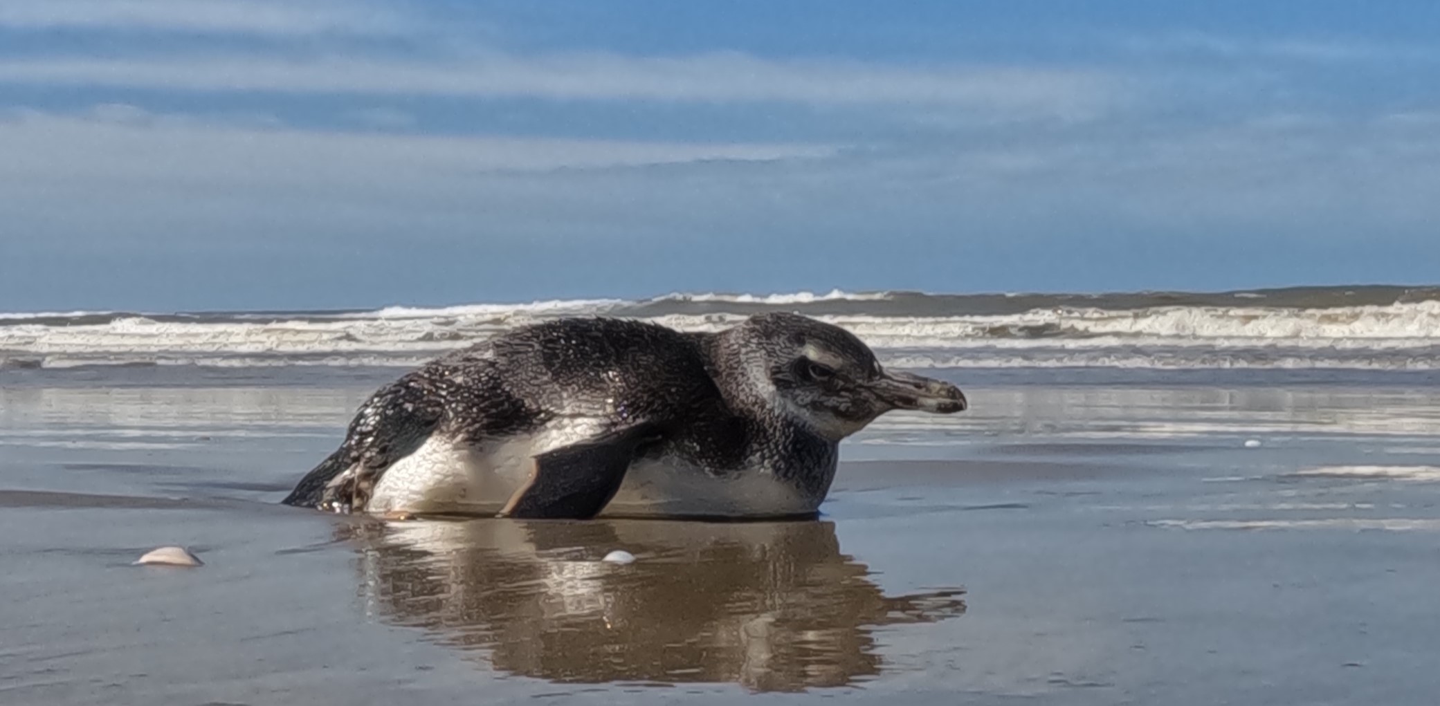
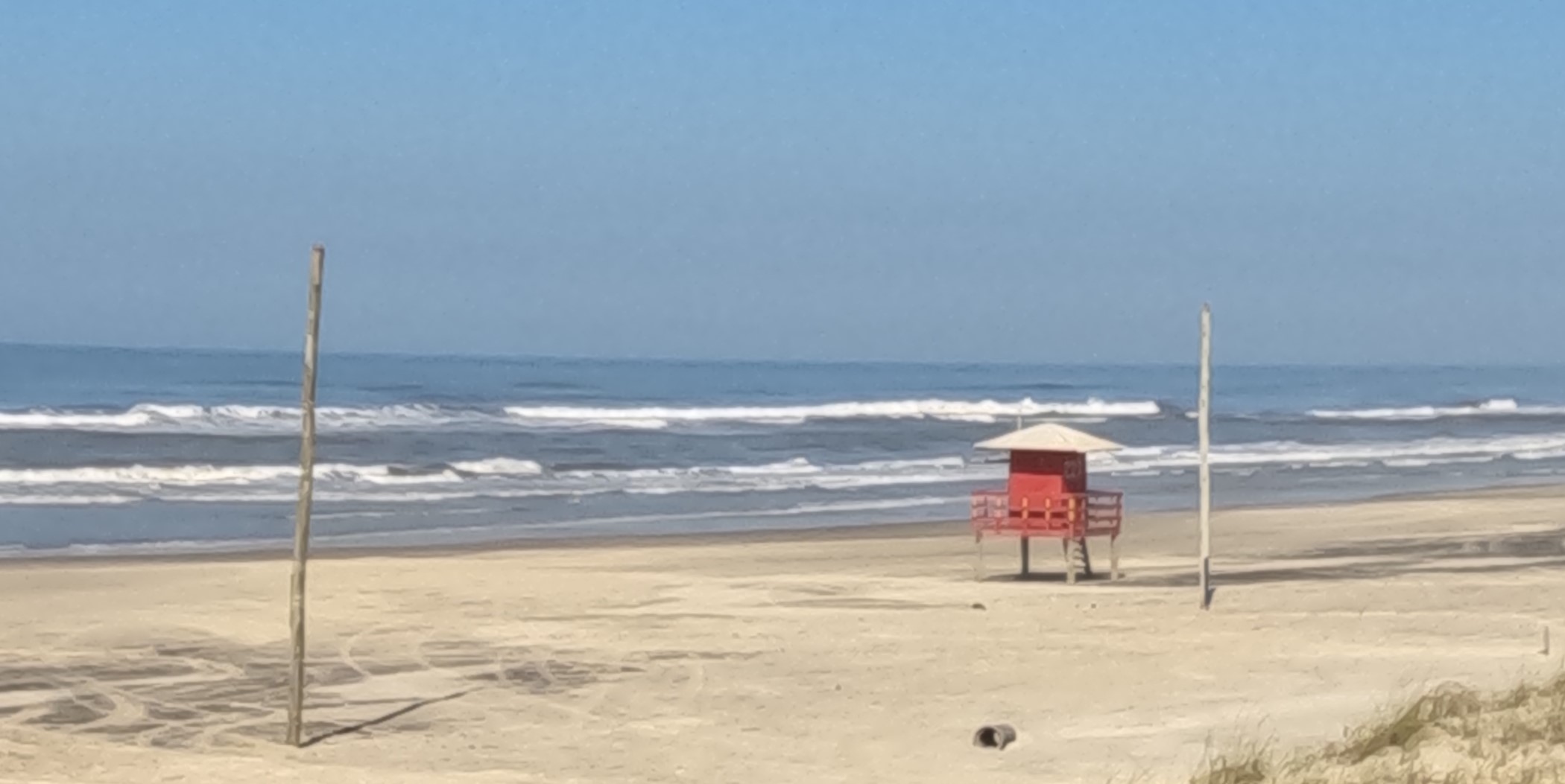
This project focuses on evaluating the impacts of climate change on the coastline of Rio Grande do Sul. Cost risks related to climate change will be quantified, such as erosive processes related to sediment deficit, rising sea levels and the effects of extreme storms. Setback lines will be generated to support planning, ordering and adaptation to rising sea levels. The coastal response will not occur in an aqueous form. The slope of the beach profile, made up of the surface and submerged region (shore), is a key factor in determining how the coast will respond to variations in external forces. Considering the scarcity of detailed bathymetry and topography data in the region, an effort in this direction will be made in the project. Only in this way will a more reliable future cost line projection be guaranteed. In the project study area, between the Verga lighthouse (32° 58.5? S; 52° 33.5? W) and the Mostardas Lighthouse (31° 15? S; 50° 54.5? W), there are included: the urbanized region of the Cassino resort and the Port of Rio Grande, with its industrial district, and further north, a region with known erosion characteristics, and which presents a great potential for urban expansion. Climate change will intensify erosion rates, increasing the protection of the coastline, causing loss of habitats and heritage through erosion, flooding and direct wave action, accompanied by changes in the water table. These impacts on urbanized and agricultural areas could cause several socioeconomic problems. Through historical estimates of coastline variations based on satellite images, monitoring at very high resolution (centimeters), and possible bathymetric surveys, future coastlines will be projected in climate change scenarios for 10, 25, 50 and 100 years and subsidize coastal management actions with the aim of minimizing socio-environmental losses.
Article Test 2
Article Test
\